
Projects

Monitoring Dune Restoration with Drone Imagery
UCSB research group and GEOS affiliates, the SAND Lab, have been working on the Humboldt Coastal Resilience Project to understand sediment movement along the northern coast of California and identify vulnerabilities to climate change and responses to future sea level rise. This massive project utilizes drone imagery to track changes over time to dune movement and native dune grass restoration efforts.

Monitoring Species Movement
Affiliates at the SCALE Lab have been using earth observing technologies including satellites and drone imagery to monitor habitat for several key species. Researchers then apply computational approaches to project habitat into the future in order to plan for species conservation in a changing climate.
Establishing an Active Transportation Dashboard for Santa Barbara County
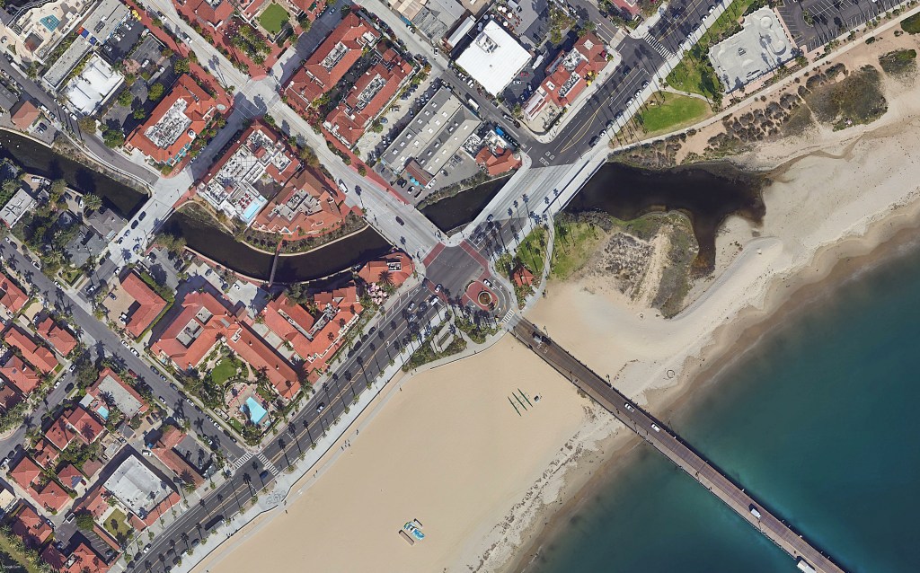
To support transportation planners and stakeholders across Santa Barbara County, our affiliates the Spatial Pattern Analysis and Research (SPAR) Lab, have created an Active Transportation Dashboard by integrating various spatial data into an easy to use platform to visualize where people are traveling by bike and foot, and where there could be barriers to movement.
Quanifying Bicycle Use to Better Measure Bicycle Safety
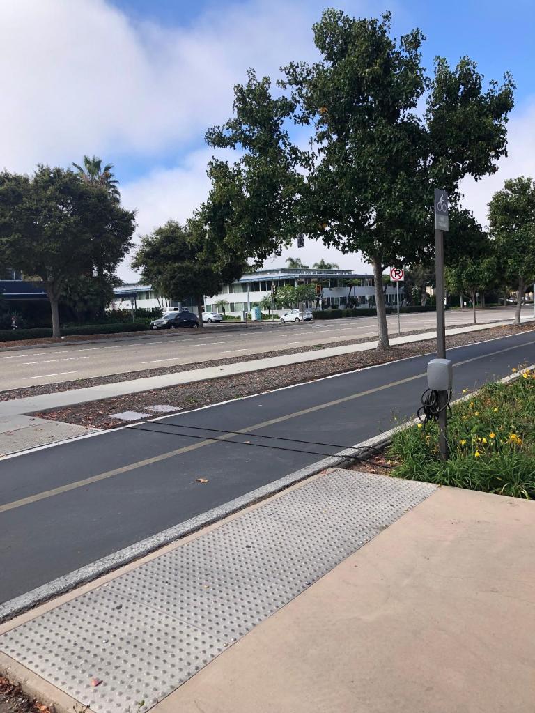
GEOS affiliates at the SPAR Lab have been working to quantify bicycling safety across the Central Coast based on location by collecting crowdsourced data on bicycle collisions along with data on bicycle traffic. combination of these data sets allows the researchers to generate maps showing dangerous hot-spot areas for cyclists that have been bias corrected based on ridership.

Wildfire Mapping
GEOS partners with researchers from the Wildfire Resilience Initiative (WRI) at UCSB to offer services that measure the wildfire vulnerability of communities. WRI has expertise in monitoring moisture in live wildfire fuels, social vulnerability, hydrant access, and neighborhood evacuation potential.
Our Team

Dr. Trisalyn Nelson
Director
Dr. Nelson is the Dangermond Chair of Geography and Director of the Center for Spatial Studies and Data Science. She is a GIS Professor and leads the Spatial Pattern Analysis and Research (SPAR) Lab.

Lizzy Schattle
Manager
Lizzy has over a decade of field and remote sensing data collection experience in GIS, conservation, and botany. She has a MESM specializing in Conservation Planning from the Bren School and is a FAA certified drone pilot.
Hiring Updates Coming Soon…

